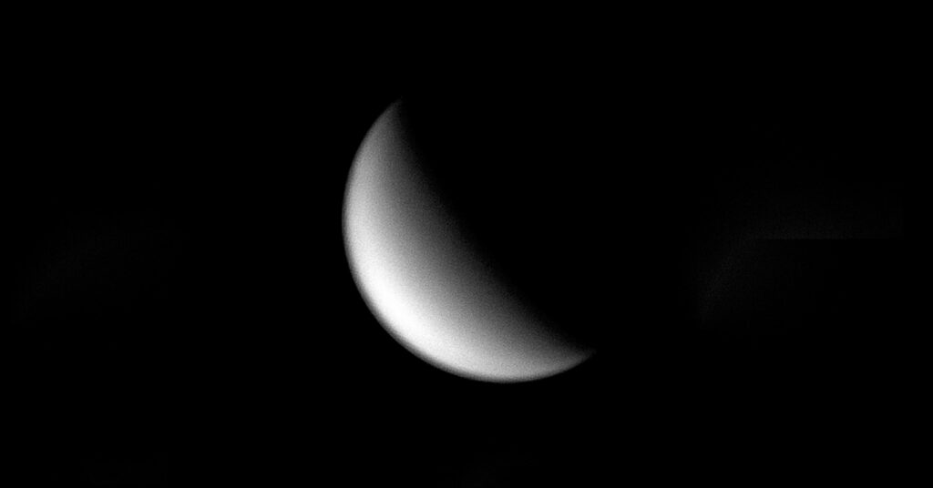
A photo of Venus taken from a telescope. WVU engineers are developing software for aerobots that will explore Venus’ environment. (WVU Photo/Yu Gu)
Engineers at West Virginia University are propelling exploration forward by creating control software for a group of aerial robots (aerobots) that will survey the atmosphere of Venus, the second planet from the sun.
According to researchers, Venus went through a climate change process that transformed it from an Earth-like environment to an inhospitable world. Studying Venus can help model the evolution of climate on Earth and serve as a reference for what can happen in the future.

Guilherme Pereira and Yu Gu, associate professors in the Department of Mechanical and Aerospace Engineering, tasked with developing the software for the aerobots, which are balloon-based robotic vehicles, hope to play a pivotal role in these discoveries. Their study is supported by a $100,000 NASA Established Program to Stimulate Competitive Research.

“The main goal of the project is to propose a software solution that will allow hybrid aerobots to explore the atmosphere of Venus,” Pereira said. “Although hybrid vehicles were proposed before this project, we are not aware if any software has been created.”
One aerobot concept is the Venus Atmosphere Maneuverable Platform, which is a hybrid airship that uses both buoyancy and aerodynamic lift to control its altitude. The benefit of a hybrid aerobot is its ability to, during the day, behave like a plane, collecting and using energy from the sun to drive its motors, and, during the night, float like a balloon to save energy.
The buoyancy of the vehicle would prevent it from going below 50 km – or 31 miles, below the surface of Venus where the temperature is very high and would damage the vehicle, according to Pereira.
“One of the ideas of our project is to extend the battery life of the vehicle by planning energy-efficient paths, thus allowing it to fly during the night as well,” Pereira said.
The aerobot lifespan at cruise altitude is several months to a year.
Pereira and Gu said their software will have three main goals. The first is to create a motion planer for the vehicles, so they can be commanded to go from their current position to a goal position specified by NASA’s science team using minimum energy and leveraging the winds in the planet. The motion planner is a software that will run in the aerobot’s computer.
“The motion planner will be created by understanding the dynamics of the aerobot, the properties of its solar panels and batteries and the properties of Venus atmosphere,” Pereira said. “With the dynamics of the vehicle, the planner will only consider movements that are feasible given certain inputs to the aircraft, such as thrust coming from the propellers or deflections of the control surfaces.”
Pereira said that understanding the solar panels and batteries is important to account for how much charge the vehicle has to power its systems and what its recharging rate is according to the solar intensity.
“The understanding of the atmosphere provides the robots quantities like wind direction and magnitude, pressure, temperature and solar intensity,” Pereira said.
With these models, the motion planner will calculate the best route for the aerobot.
“We are trying to come up with an optimal energy strategy,” Pereira said. “This is important since the vehicle will be orbiting the atmosphere of Venus in around four days. It will be exposed to long periods without light on the dark side of the planet and it needs to have enough energy to survive these periods.”
According to Pereira, the motion planner will have access to the position of the aerobot in Venus atmosphere and to a desired goal location. It will also have access to information about the atmosphere in between these two positions.
“Starting from the initial position, the planner will simulate different movements the aerobot could make and associate costs for each of them depending on the quantities mentioned before,” Pereira said.
For example, if the wind is blowing in the same direction as the movement of the aerobot, that would be less costly than moving against the wind direction.
“After that, the motion planner will keep propagating the movements of the aerobot with smaller cost, creating a tree of possibilities until we reach our destination,” Pereira said.
The second goal of this project is to localize the aerobot vehicles in the atmosphere using information from other vehicles and maps of the planet. There is currently no GPS in Venus, so localization is difficult.
This localization approach will allow several robots to be less lost as a group when they are exploring Venus.
Gu and Pereira plan on using different types of maps for localization.
“We are evaluating the possibility of using maps created before the mission, most likely a Venus topographic map to help the robots to localize themselves,” Gu said.
The third goal for this project is to coordinate the vehicles so that they have improved localization and a better estimation of atmosphere conditions.
The spatial distribution of the aerobots in the atmosphere may allow each aerobot to have a better knowledge of the 3D wind field if each vehicle shares the wind flow in its neighborhood, according to Pereira.
Pereira and Gu’s research will be based on wind models of Venus created by NASA. The researchers also propose that the aerobots carry wind sensors that can be used to estimate the local wind.
“The importance of the wind flow is related to the fact that it can be exploited to take the aerobot to desired locations,” Pereira said. “Just as with sprinters in the Olympics when they get better marks if they are experiencing tail-wind. If the wind is directed towards the goal of the aircraft, the aerobot movement will be aided by the wind and, by consequence, the path will be more energetically efficient.”
To test this, Pereira and Gu plan to develop a Venus atmosphere simulator, where they will evaluate the aerobots’ functionality.
“Several exploratory missions to Venus collected data of wind, temperature, pressure and air density,” Pereira said. “This information was then used to create a simulator where, given the latitude, longitude and altitude of the vehicle, we compute all the forces acting on the vehicle.”
Joining Pereira and Gu on the project are Bernardo Martinez Rocamora Jr. and Chizhao Yang, doctoral students in aerospace and mechanical engineering, and Anna Puigvert i Juan, master’s student in mechanical engineering.
From WVU Today
